Tides, Trails, and Quays: Crafting Norfolk Waterside Walks

Set sail on foot along Norfolk’s historic waterfronts using tide apps together with Ordnance Survey’s OS Maps to design safe, scenic quayside walking routes. We’ll blend predictions, real-time clues, and precise cartography to uncover timings, viewpoints, shortcuts, and escape options from King’s Lynn to Wells-next-the-Sea and Great Yarmouth, so your next stroll hugs the water confidently, captures coastal character, and returns before the steps glisten underwater or the mudflats yawn wider than expected.

Reading the Water: Tide Timing Without Guesswork

Coastal paths beside working quays are shaped hour by hour by the tide. Knowing when steps submerge, slipways glaze, or marshy edges soften can turn an iffy outing into a well-timed wander. Using tide apps to compare high and low predictions, spring and neap ranges, and slack-water windows gives you practical, walk-ready insights for Norfolk’s varied waterfronts, from King’s Lynn’s tidal bends to Wells harbour’s channels, aligning confidence with clocks instead of crossed fingers.

Mapping the Edge: OS Maps Techniques Along Norfolk Quays

OS Maps reveals where rights of way kiss the waterfront, where permissive paths thread behind sheds, and which lines trace seawalls with dependable footing. Switch to 1:25k Explorer for intertidal tints, harbour names, marina symbols, and steps marked beside moorings. Plot alternatives onto the same plan, export GPX, and preview gradients or surface changes. With cartographic clarity, your quayside ideas become practical, scenic loops that respect barriers while still delivering river bends, historic cranes, and big skies.

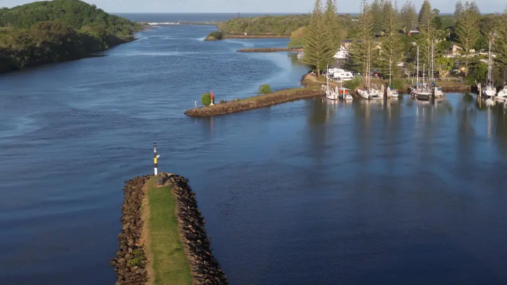
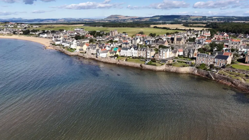
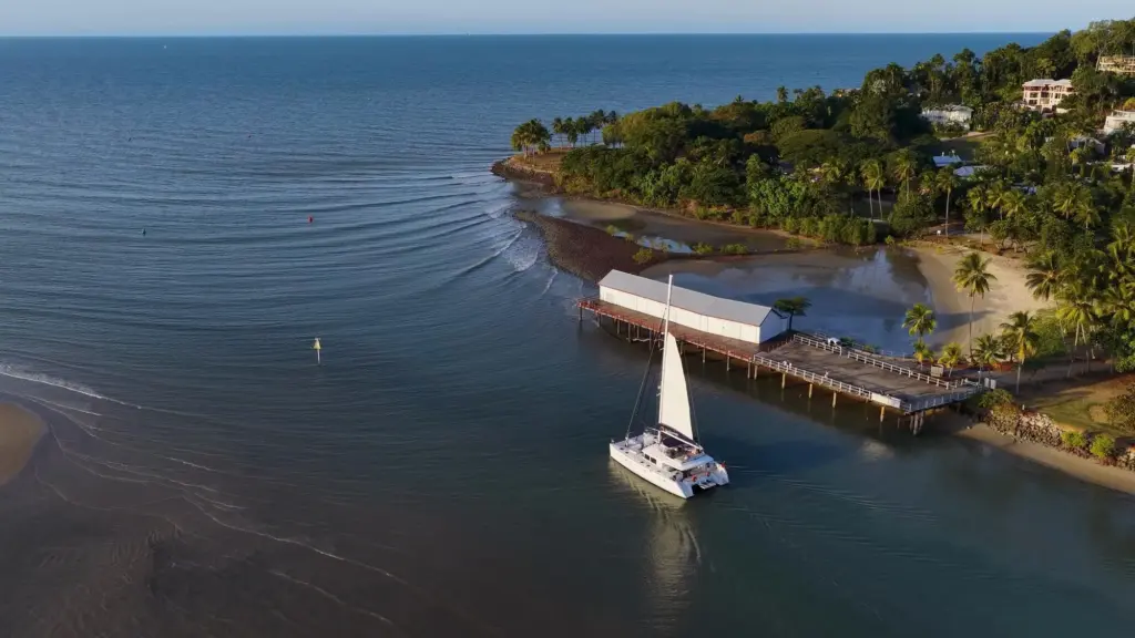
Routes to Try: King’s Lynn, Wells-next-the-Sea, Great Yarmouth

Bring timing and mapping together on three contrasting waterside circuits. Each pairs tide-aware windows with OS Maps clarity to showcase character: merchants’ bricks in King’s Lynn, working boats at Wells, and shifting light along Great Yarmouth’s South Quay. Keep alternatives handy for crowds, closures, or lively winds. Stay flexible if spring tides swell, and you’ll still score reflections, gull calls, and safe returns, feeling you navigated both a map and a living, moving edge.

Weather, Light, and Seasonal Water Levels

Tide knowledge thrives when paired with forecasts and daylight sense. North Sea surges, pressure dips, or stubborn onshore winds can nudge heights beyond predictions, especially around exposed quays. Plan golden hours that also match safe ground clearance, and give winter dusk extra margins. In summer, crowds and glare change footing and pace. Blend tide times, Met Office updates, and local notices to time your waterside turns with confidence, not superstition, and keep shoes clean and cameras happy.

Wind, surge, and barometer: when forecasts trump optimism

Even perfect tide tables can be humbled by persistent easterlies or a quick pressure swing. Scan wind direction and gusts, then read marine or estuary notes for unusual levels. A cautious plan might shift your start by thirty minutes, transforming iffy ramps into sensible viewpoints. In Norfolk’s open reaches, a little extra height can cover low steps earlier. Accepting forecast nuance protects ankles, protects cameras, and protects the pleasant rhythm of your planned waterside wander.

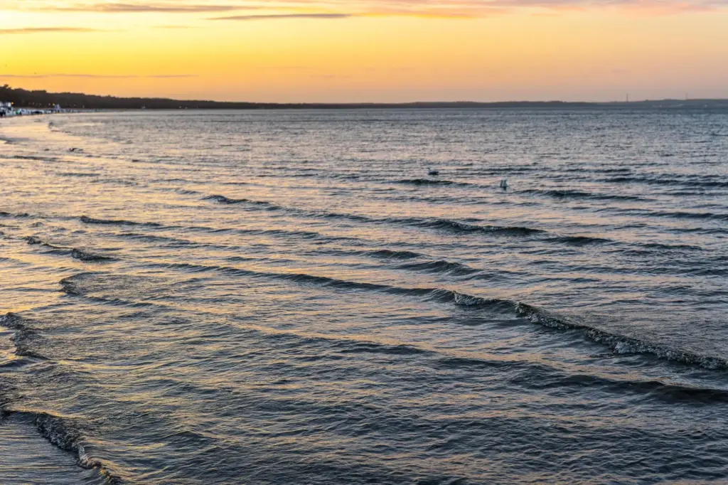
Light on water: timing for safer footing and better photos

Angled light makes wet stone sparkle and shallow ripples glitter, beautiful yet treacherous. Schedule low sun to coincide with dry pavements rather than rising water on smooth steps. Use OS Maps to locate elevated vantage points where reflections sing without courting slippery edges. A tide app alert fifteen minutes before your photogenic window nudges you toward the perfect corner. With preparation, you photograph gleam and grain while treads stay sure, lenses clean, and nerves quietly steady.

Cold, heat, and crowd dynamics around busy quays

In winter, cold numbs balance faster on glossy flags; keep moving, layer up, and shorten exposed segments. In summer, crowds thicken near favourite railings, so plan inland detours and patience during bottlenecks. Dogs, prams, and fishing kit create cheerful but unpredictable slaloms. Selecting earlier start times preserves calm edges, while noting shaded benches offers relief at midday. Season by season, refine timings that favour space, safety, and the quiet details—barnacles, bollards, brickwork—that tell each quay’s story.

Safety, Access, and Waterside Etiquette

Quays host real work as well as wanderers. Ropes, winches, and forklifts deserve respectful distance, and private areas are not scenic shortcuts. OS Maps helps confirm legitimate paths, while tide and weather inform how close to edge features you linger. Keep dogs leashed where signs request, carry a small light for dusk, and treat lifeboat access with utmost courtesy. A considerate walker earns smiles, safer lanes, and more time to notice tide marks rising on old stone.

Take It Further: Communities, Sharing, and Offline Confidence

Turn today’s insights into a dependable habit. Save routes in OS Maps, note tide heights that worked beautifully, and attach quick photos of critical steps or ramps. Export GPX for friends, and keep offline layers for poor signal corners. Add your emergency location method—OS grid or what3words—and practice sending it calmly. Share stories and missteps with local groups to help newcomers. Lively, generous notes build a personal waterfront guidebook that grows safer and richer with every stroll.
Sentozunozavovaro
Privacy Overview

This website uses cookies so that we can provide you with the best user experience possible. Cookie information is stored in your browser and performs functions such as recognising you when you return to our website and helping our team to understand which sections of the website you find most interesting and useful.